No products in the cart.
₹3
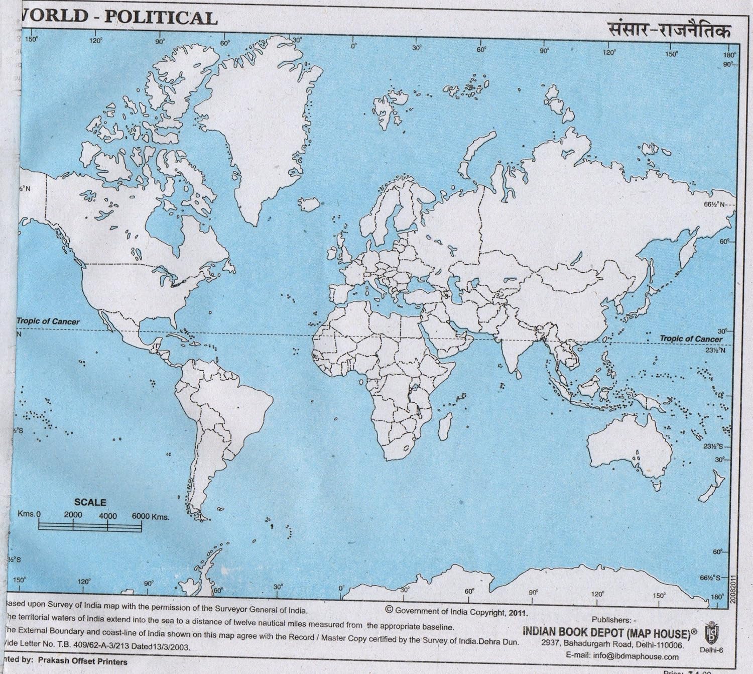
A Political Maps is a type that shows the boundaries and names of countries, states, provinces, cities, and other administrative divisions. They typically use different colors to distinguish between regions and clearly mark capital cities and major urban areas. These are commonly used in classrooms, textbooks, and government settings to help people understand how territories are organized and governed. They are important tools for studying geography, history, international relations, and current events, as they illustrate how land is divided and how political boundaries shape the world.
| Weight | 5 g |
|---|






Reviews
There are no reviews yet.