No products in the cart.
₹3
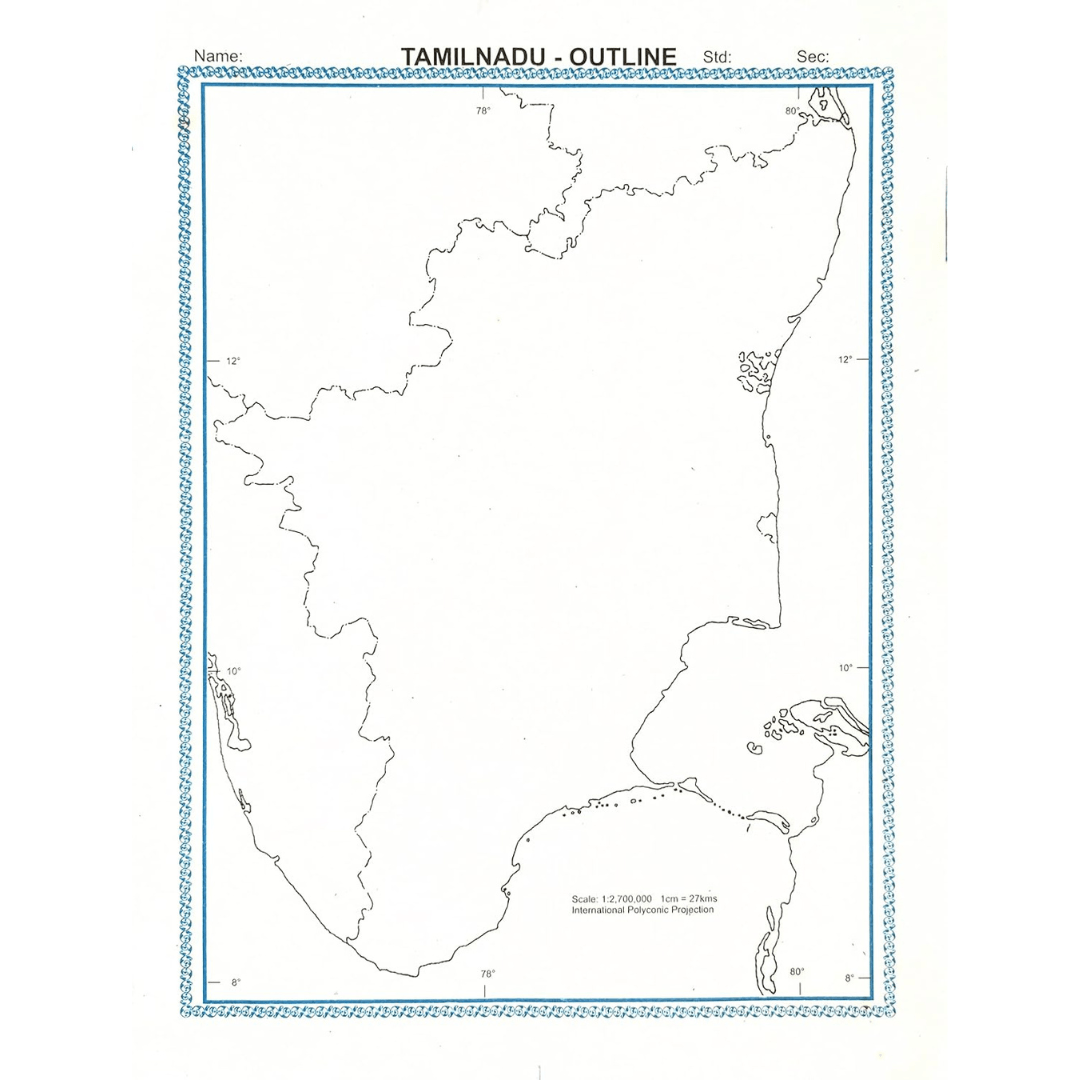
A Outline Map is a visual representation of an area, showing physical features, political boundaries, and other significant information. Traditionally printed on paper or created digitally, it help users understand spatial relationships and navigate from one place to another. They can depict cities, countries, continents, or even the entire world, using symbols, colors, and scales to convey information such as elevation, population, climate, and transportation networks.
| Weight | 50 g |
|---|


Reviews
There are no reviews yet.