No products in the cart.
₹3
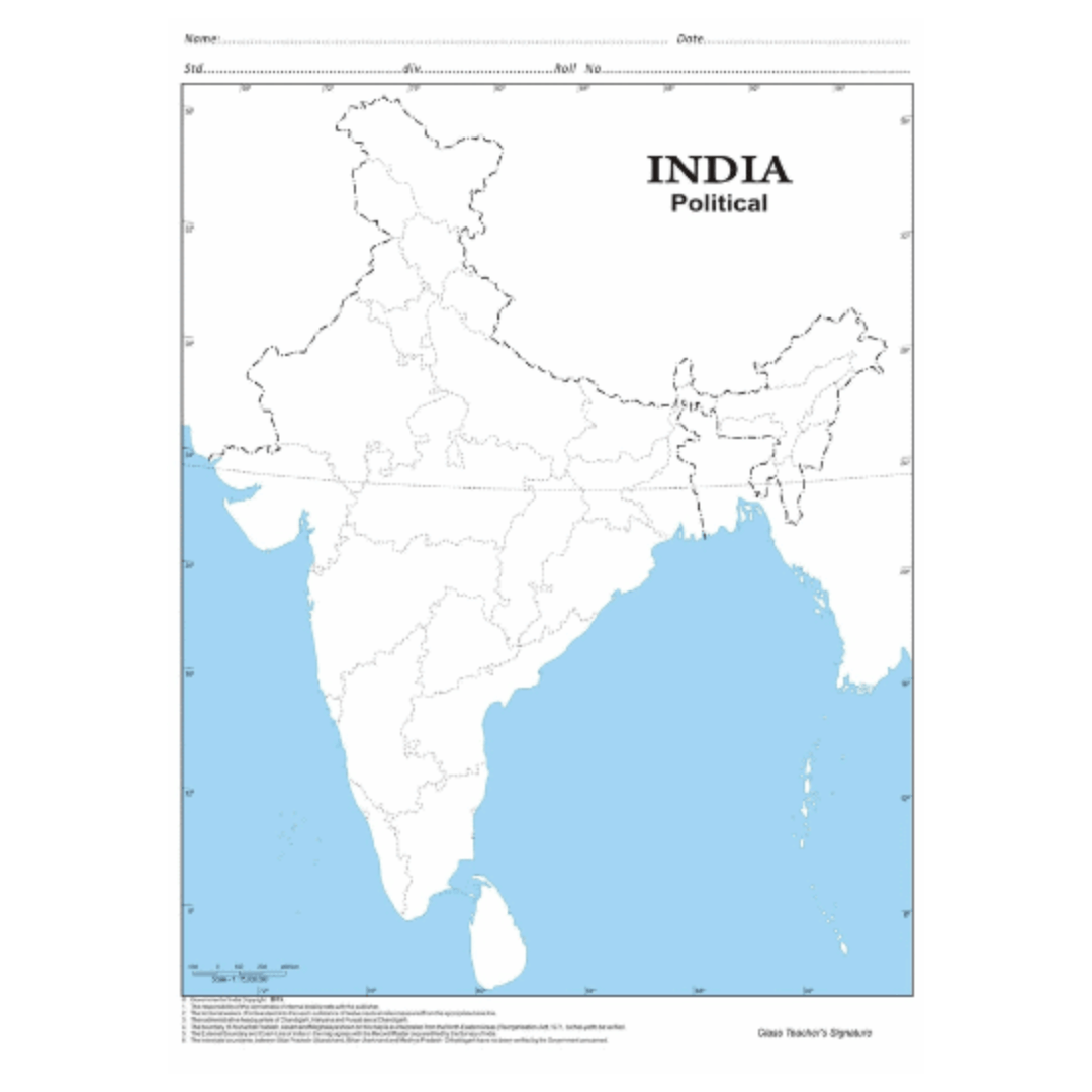
A Political map is a visual representation of an area, showing geographic features, boundaries, and locations. It have been crucial tools for navigation, understanding topography, and planning throughout history. They provide a simplified view of the world or a specific region, making it easier to analyze distances, elevations, and the relationships between different locations.
It come in many different types, each serving a specific purpose. Political maps, for example, show countries, states, and cities, while physical maps focus on natural features such as mountains, rivers, and forests.


Reviews
There are no reviews yet.